Viewpointhardmountain

Ha Ling Peak

Steep Canmore summit hike with big views over town and the Bow Valley.

Time

4h

Distance

7 km

Gain

800m

Trailhead

Goat Creek lot, Canmore

DirectionsTrail conditions

Conditions, access, and parking can change quickly. Check before going.

Plan notes

Best for

Fit hikers based in or passing through Canmore who want a classic summit-style effort.

Pair with

Canmore food, Grassi Lakes for an easier companion plan, or Quarry Lake after the hike.

Access

Starts from the Goat Creek area above Canmore; the trailhead itself is the planning bottleneck.

Season

Best in dry, snow-free conditions. Wind, ice, and shoulder-season snow can make the upper section feel exposed.

Safety

This is a steep summit hike with real fatigue on the descent. Skip it in poor visibility, strong wind, or icy conditions.

No-car note

Not a practical no-car pick for most Banff visitors.

From town

Short drive
Similar hikes

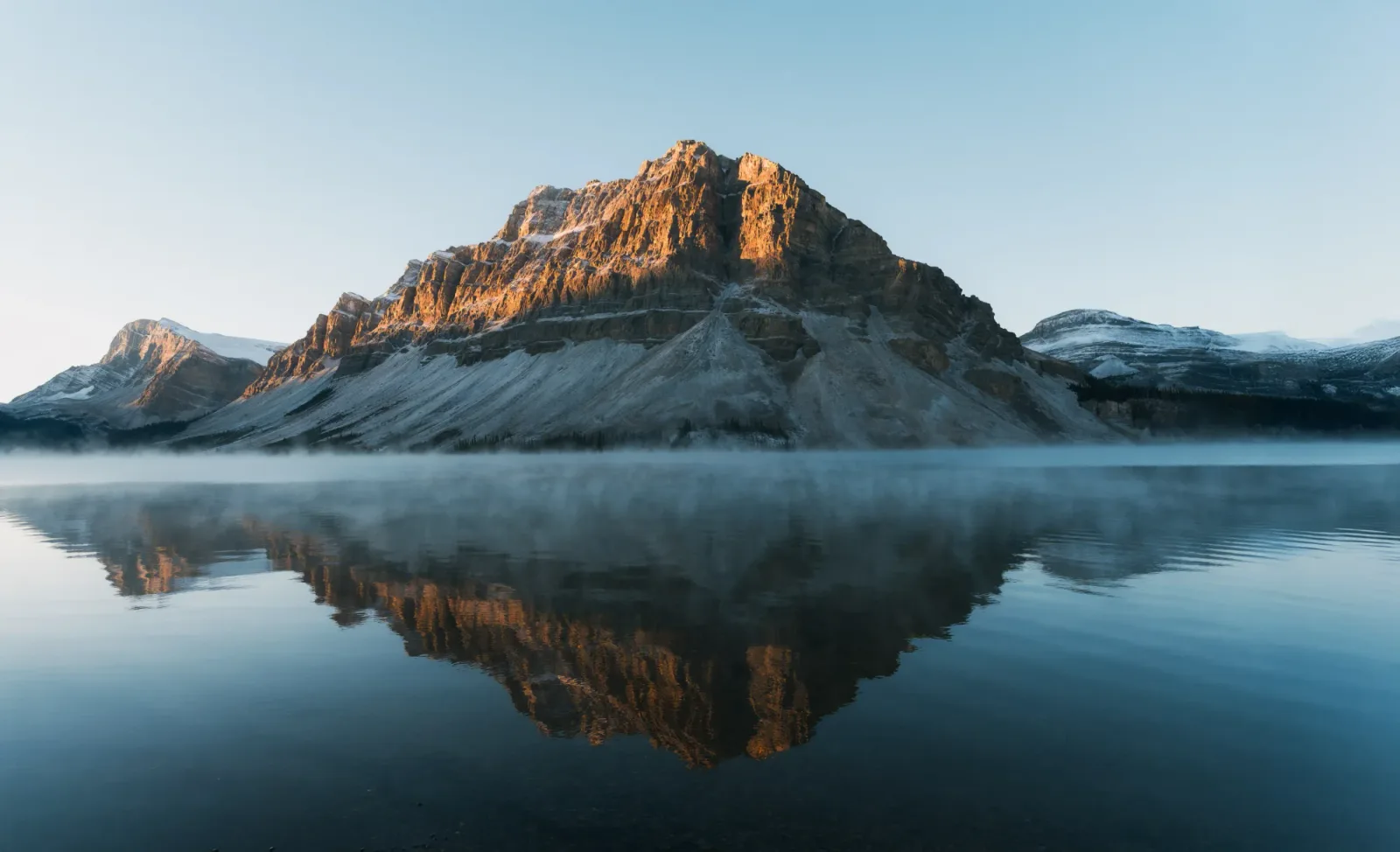
Mount Rundle misty lake reflection wide.
Easy Hike

Tunnel Mountain

Banff's backyard climb. 90 minutes, town and valley views almost the entire climb.

LeveleasyTime1.5hCrowdpopular

Best for

Big valley views for modest distance and elevation.

Mountainno-car-friendly+3
4.3 km260m
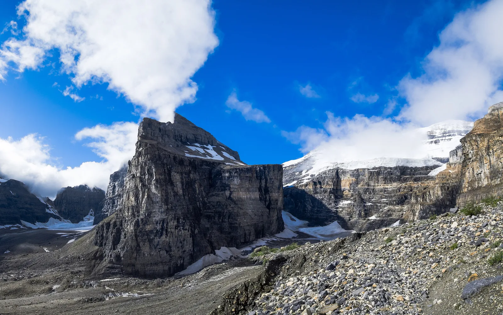
Rocky Plain of Six Glaciers trail landscape above Lake Louise.

Photo: Florian Fuchs / Wikimedia Commons / CC BY 3.0

Challenging Hike

Plain of Six Glaciers

Glacier views, a second tea house, a moraine that feels like Mars.

LevelhardTime5hCrowdpopular

Best for

The trail trades crowds for a long valley walk, glacier views, and a wilder finish above the lake.

Glacierscenic
Shuttle recommendedParking fills early
13.8 km600m
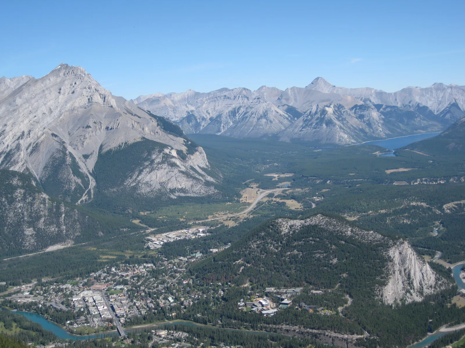
View over Banff town and the surrounding peaks from the gondola side of Sulphur Mountain.

Photo: Ken Lund / Wikimedia Commons / CC BY 2.0

Challenging Hike

Sulphur Mountain (skip the gondola)

Switchbacks for 2 hours. Top is the same view, half the crowd.

LevelhardTime4hCrowdpopular

Best for

Same summit complex and boardwalk payoff, earned by switchbacks instead of a ride.

Mountainno-car-friendly+2
10.9 km700m